
Crash poles route
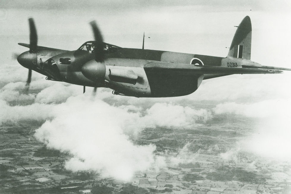
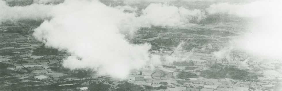
In the 1st and especially the 2nd World War, several aircraft crashed in Eastern Flevoland. Many of these aircraft were found and salvaged during the draining of the polder. In 2008 the idea arose to register and describe these aircraft and to mark the locations with a memorial pole.
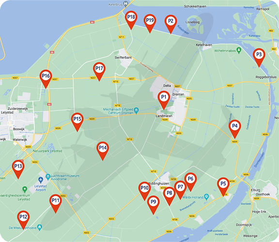
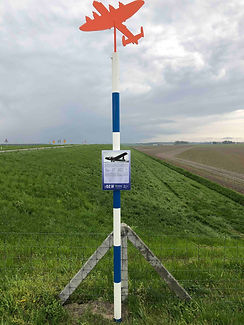
There are a total of 19 memorial poles in Eastern Flevoland, which together form the Crash Pole Route. This is to realize a lasting memory of the Airgunners and to make visible a piece of history that revealed itself during Prohibition.
The emergence
2011
The Aircrew Forever Foundation was founded and realized the route. The unveiling of the first pile was on April 29, 2011 and was done by Messrs Gerrit Zwanenburg (former salvage officer), Rutger Kuiper (former Rijksdienst IJsselmeerpolders and as such involved in the clearance of the first aircraft wrecks) and one of the longest coming in Dronten Airgunners, Ron Powers. Memorial pole #1 was therefore the first of a total of 16 poles, which were placed in 2011 by the Stichting 4 mei Herdenking Dronten.
2021
Based on new insights, the route will be updated in 2021 in collaboration with the Municipality of Dronten. A number of posts were moved, removed or newly installed. New information about the aircraft and crew in question has been added. The route now consists of 19 poles. Click here for an overview of all memorial posts in Eastern Flevoland.
Our method
The Aircrew Forever Foundation has placed the marking posts and the accompanying information boards based on its own research, supplemented with information found by others. The basis of the information are the reports of Mr. Gerrit Zwanenburg, former salvage officer in the Royal Netherlands Air Force, who carried out research into the salvage of the aircraft when the polder was drained.
We realize that the information can become outdated over the years, because people (can) tap new sources of information. However, new information is not necessarily correct information. That is what makes our work as a foundation so difficult. We would like to place the correct information on the signs and on the website. But when other information becomes available, we cannot immediately change everything. We always try to place the marking posts in the available public place that is closest to the place where the cockpit of an aircraft has come down. After all, an aircraft can be spread over a large area, so in the past we have determined that the cockpit is our measuring point. We are often approached with extra information, which could (partly) lead us to different insights. As a foundation, however, we have determined that we will only adjust piles when the new information can be regarded as irrefutably proven.
In our opinion, the signs can contain 3 types of errors:
-
Errors in ranks and/or names that can be clearly identified.
-
Other insights about, for example, the exact crash location.
-
Disagreements about the layout of the boards.
In case of errors in category 1, we will adjust the sign on this marking post after checking.
In the case of errors in category 2, we will take the comments and/or comments to heart and, if reliable, include them on our website. If these new insights eventually lead to irrefutable evidence, so that the information on the sign has to be adjusted, we will do so. We will share this information via our website, so that we can form a publicly accessible file. This information must then be supplied to us, and it must be possible to check it by our own advisers. It is not a matter of whether our advisers agree with a new insight, but whether this new information could reasonably be correct. There will have to be some form of control before we place information on the site. We also want to know who provides the information. We do not include anonymous sources in our analyses. On request, we can place supplied information anonymously on our site, as long as we know who this information comes from.
We include differences of opinion in category 3 in our database. If the sign in question ever needs to be adjusted, we will include this information if necessary in the adjustment.
In addition, we want to make it clear that we as the 4 May Memorial Dronten Foundation are solely responsible for the marking posts in the municipalities of Dronten and Lelystad.
Advice
The basis of the Crash Pole Route is formed by the results of the research carried out by Gerrit Zwanenburg, a former salvage officer at the Royal Netherlands Air Force. Based on new information, our advisors Ivo de Jong (chairman of the Air War Study Group 1939-1945) and Tjerk Zwanenburg (son of the now deceased former salvage officer at the Royal Netherlands Air Force Gerrit Zwanenburg) have updated the route in 2021._cc781905-5cde- 3194-bb3b-136bad5cf58d_